Tag Archives: camping

Oklahoma FreeWheel – Day 3

We spent a pleasant night in El Reno. There was a chance of rain overnight, but it held off til this morning.

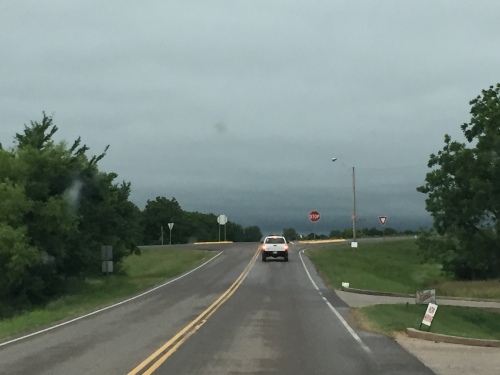
Storm clouds approaching from the north.

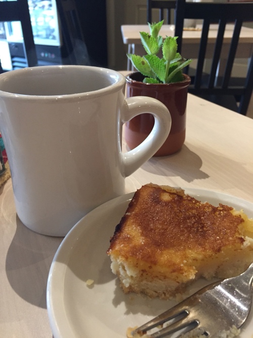
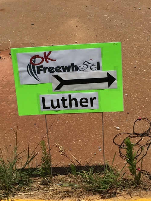
About the time we started marking the Day 4 gravel route, it started raining. We ducked into the 116 Farmstead Market & Table in Luther for a cup of coffee and a lemon bar. Keith had apple cake. Both were very good.

We got several miles marked before the thunderstorm started in earnest. A flash flood warning was issued, so we found a high spot to wait out the storm.

Bear Creek near Fallis.

At least we don’t have to put up with dust and wind today!

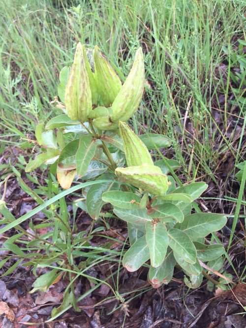
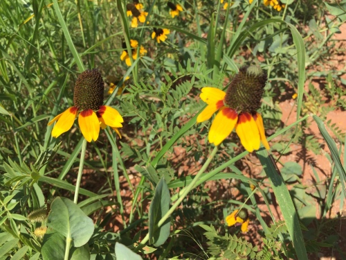
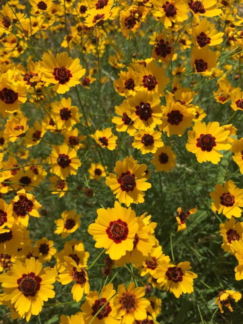
I’m always on the lookout for interesting plants, and found a couple different kinds of milkweed.

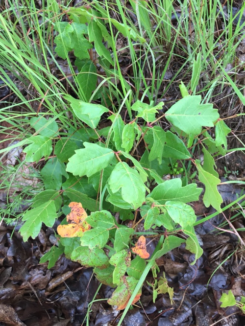
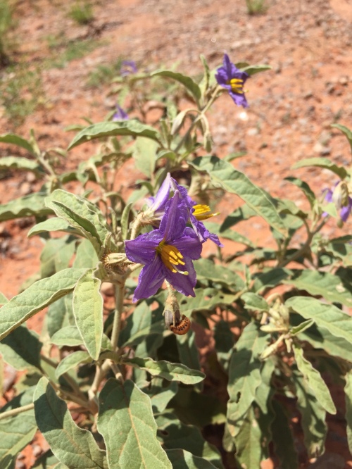
Also found copious amounts of poison oak and ivy.

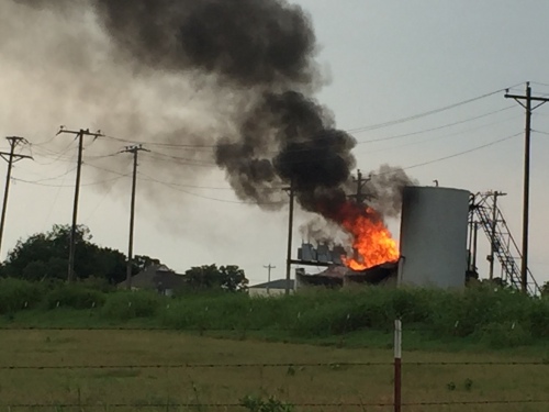
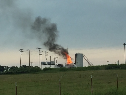
We came upon a fire at some oil storage tanks. Probably caused by lightning. I think it was around mile 31.

We stopped off at the Rock Cafe in Stroud for lunch. Such a neat little place! They are expecting us tomorrow and said they’ll have a food truck open.

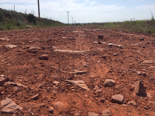
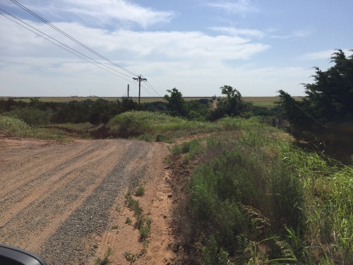
There’s a variety of gravel surfaces tomorrow; all pretty soggy!

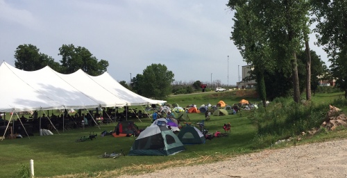
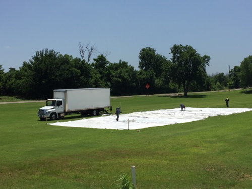
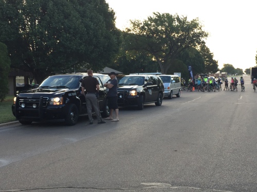
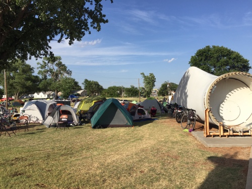
FreeWheel camp at Luther is a hopping place. The town really rolled out the red carpet and made us feel welcome.

Oklahoma FreeWheel – Day 2

There’s a wide variety of road surfaces today, especially this kind.

Today started hazy. The weather report said there’s a lot of humidity in the air. I suspect that won’t stick around for long once the wind kicks up.

Hazy day.

Though it’s”officially” Day 2, Keith and I are marking the Day 3 gravel route from El Reno to Luther.

El Reno campsite.

The El Reno campsite is nice and shady this morning. The site is in a beautiful area next to the country club and El Reno lake.

The Day 3 gravel route stays in rural areas for the most part, and it’s especially nice east of I-35 and north of Luther. Lots of different surfaces today.

A rough spot north of Luther.

We were surprised to note a castle along the route today!

Well now, that’s not something you see every day in Oklahoma.

There are lots of pretty wildflowers, too. I saw Mexican hats, and several others that I don’t know. I’m pretty sure that last one is nightshade.

We rolled into Luther and found they’ve already put up lots of little signs.

They were also busy putting up a large tent at the campsite.

We stopped at a diner for lunch and heard local residents talking about FreeWheel coming to town. They seem to be looking forward to our visit.

El Reno tent city.

At tonight’s riders meeting, the Luther mayor, the parks and rec director, and the owner of a local BBQ restaurant got everyone stirred up and ready for our visit there.

Tired volunteer feet. We were comparing tan/dirt lines.

Oklahoma FreeWheel – Day 1

The gravel route stays on pavement for several miles but soon turns a bit rowdy.

Another very breezy day in western Oklahoma! Today, I suspect the wind was trying to kill us. It did almost take out our tent. Hopefully, we got it repaired and will be able to keep using it.

State troopers ready to provide an escort.

Keith and I loaded up and hit the road around 7:30 a.m. By that time, most of the riders had already packed up and gone.

Some riders crossing I-40.

We drove to tonight’s stop, Weatherford, where we’d start marking tomorrow’s gravel route.

Route 66 and veterans monument at Weatherford.

The folks in Weatherford were already setting up the campsite. Mayor Mike Brown came over and welcomed us to town.

Weatherford Mayor Mike Brown.

During the morning , we saw lots of large fields interspersed with rocky arroyos and small canyons.

Where’d the road go? Oh yeah, there it is waaaay over there.

Lunch stop was in the town of Hinton.

We saw lots more wheat ready to cut, and plenty of wildflowers.

Don’t know what these are, but they’re gorgeous.

Sections of the Mother Road are still here!

Route 66 – the Mother Road.

The campsite in Weatherford features a ginormous windmill blade.

Tents set up next to a windmill blade.

Lots of friends in camp, too!

Stillwater friendly faces (from left) Bill, John, Jack, Scott, Keith, and Carl.

Cowboy Trail – Day 1 – Long Day on the Road

Cowboy Trail main.jpg

Cowboy Trail 2018

Valentine, NE to Norfolk, NE


This series of blog entries will recap a week-long bikepacking trip on the Cowboy Trail in north central Nebraska. My trail notes will include notes about the ride – terrain, flora and fauna, campsites, restaurants, rest stops, cool stuff, obstacles, some of the people we met, and whatever else comes to mind.

I was traveling with my husband, Keith, and his brother, John. Keith and I elected to ride our gravel bikes; mine is a Salsa Fargo, and his is a Surly ECR. John was riding a Surly Disc Trucker touring bike.

Fargo

Salsa Fargo

ECR

Surly ECR

Disc Trucker

Surly Disc Trucker

Our goal for this trip was to take our time and enjoy the country, not bust it to reach the end as fast as we could. We thought we’d shoot for 30-40 miles a day, but we planned to just roll with it if we felt like doing something else.

At the end of this series of posts (one for each day), you’ll see some general observations and tips. If you have questions, just fire away!


Day 1 – Long Day on the Road

Saturday, May 26 – drive from Oklahoma to Valentine, NE

We chose to ride the trail west to east, mostly because the prevailing winds this time of year would be coming from the west/southwest. For the most part, this proved to be true, so it was a good decision.

It is approximately 620 miles from our home to Valentine, so we knew it would take a full day to drive up there. We reserved rooms at the Trade Winds Motel in Valentine. The Trade Winds, located along Hwy 20 on the south edge of town, is an older-style motel that has been updated, and our rooms were very clean and comfortable. The grounds are well-manicured, and the motel has a nice free breakfast.

There are several hotels in town, but if you plan to stay there it would be best to make reservations in advance because the town seems to be doing a brisk business catering to people who are there to enjoy the Niobrara River and other recreational areas.

D1-Niobrara Bridge.jpg

A view of the Niobrara River Bridge from Hwy 20.


The Trade Winds owners allowed us to leave our van in their overflow lot during the week.